
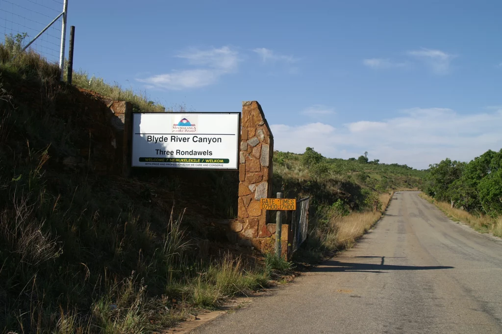
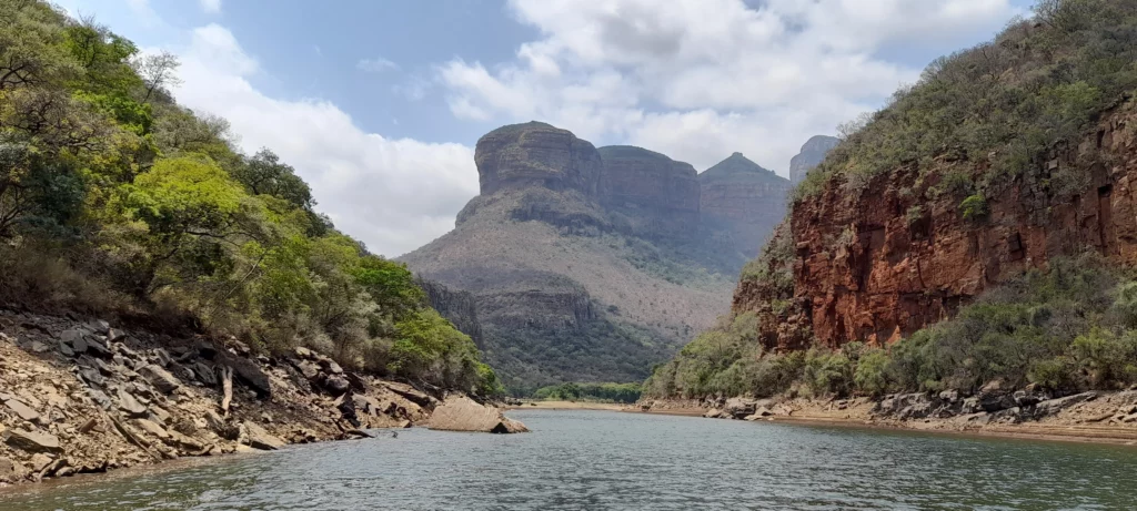
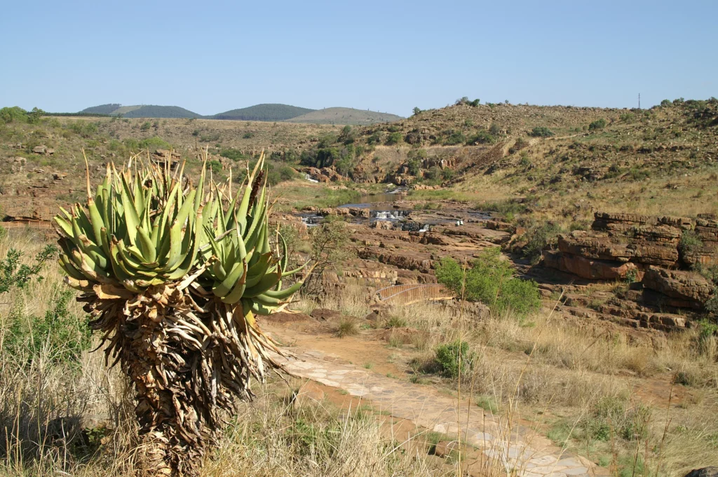
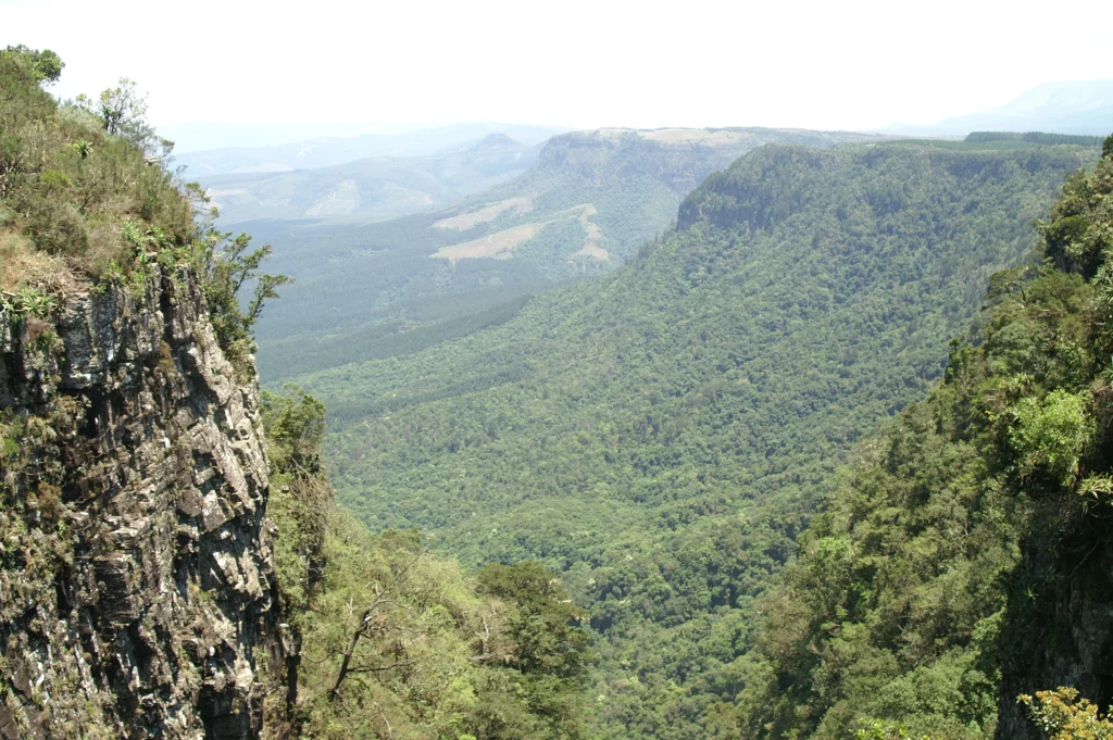
The Blyde River Canyon, which covers about 29000 hectares, stretches along the Drakensberg escarpment region and is considered the third largest canyon in the world. The canyon, which is overgrown with greenery all year round, is best crossed via the well-known South African Panorama Route. Depending on the version, this route stretches between the Blyde River Nature Reserve, Graskop, Pilgrims Rest and Ohrigstad, but can also be continued to Sabie.
If you start the route from the north, you can join the R532 from the R36 towards Leboeng to begin the route. Along this route you will constantly encounter impressive landscapes, rock formations and waterfalls.
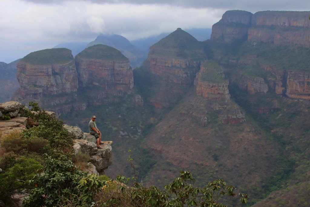
Three Rondavels
Quite far to the north are the Three Rondavels. These conspicuously round mountain formations, which converge into small peaks at the top, were named after the local farmhouses – the so-called rondavels. If you look from the corresponding viewpoint on the western side of the canyon to the Three Rondavels in the east, you will also see parts of the Drakensberg escarpment.
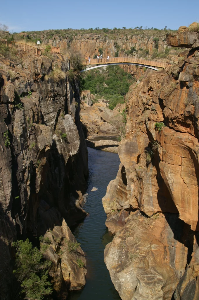
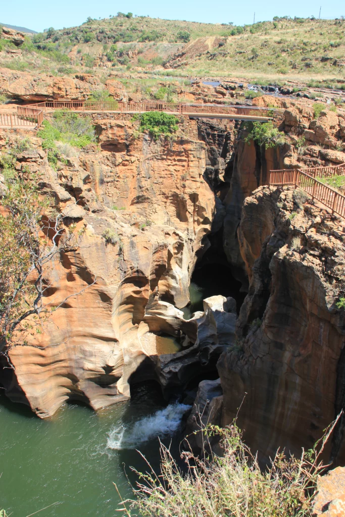
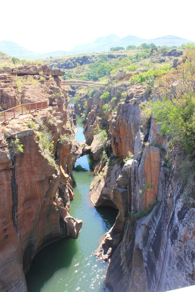
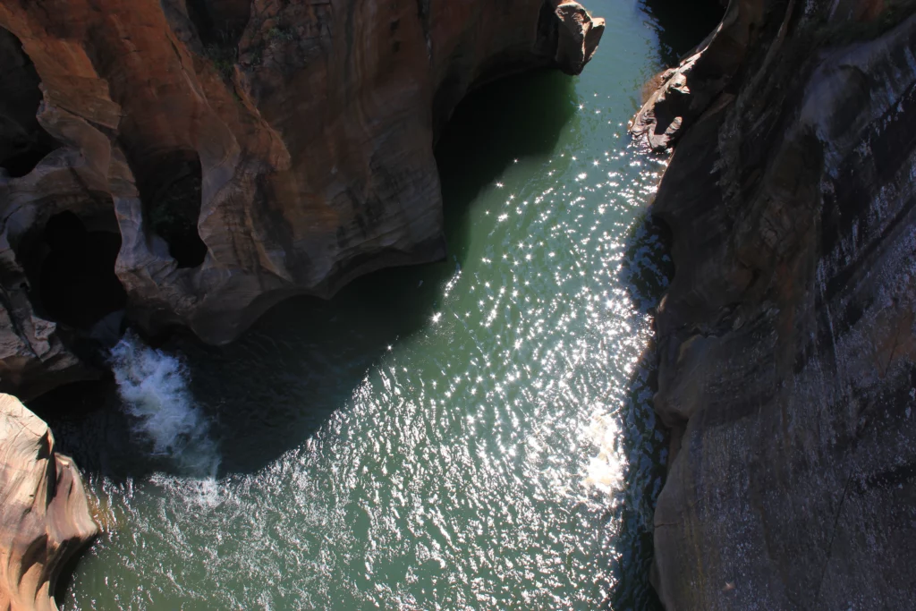
Bourke’s Luck Potholes
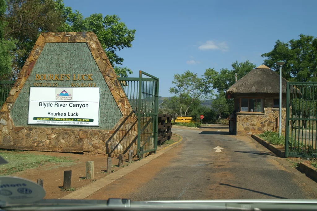
Bourke’s Luck Potholes are also known for their special rock formations. They are one of the most popular destinations along the Panorama Route and consist of swirl holes and cauldrons that have formed over time. John Bourke, after whom this place was named, unfortunately had no luck in finding gold treasures, contrary to the name of this place.
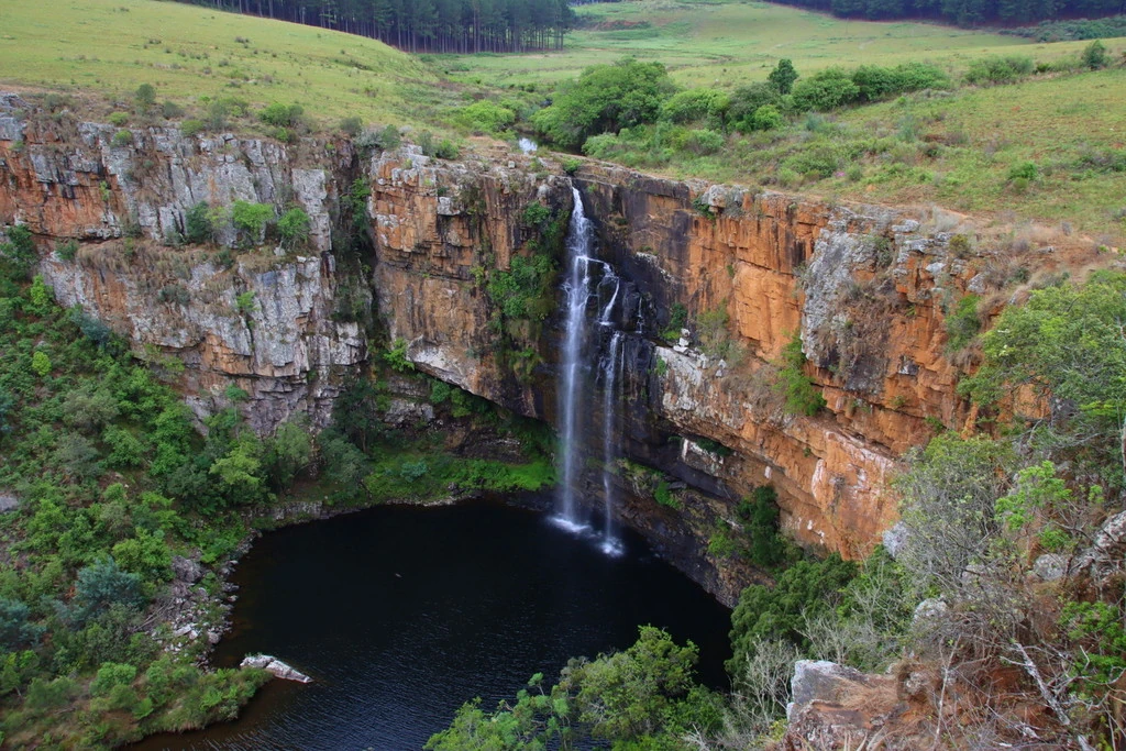
The Lisbon and Berlin Falls
At numerous viewpoints you can overlook the landscape of the Blyde River Canyon. But there are also many waterfalls along the Panorama Route. For example, the Berlin Falls and the Lisbon Falls are popular destinations when passing the route. Both waterfalls were named after the home towns of gold miners who explored this region. The taller of the two waterfalls is the 94-metre Lisbon Falls, because it towers over the Berlin Falls by about 14 metres.
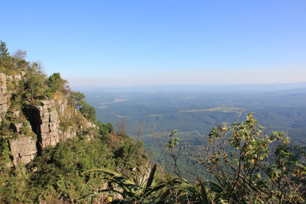
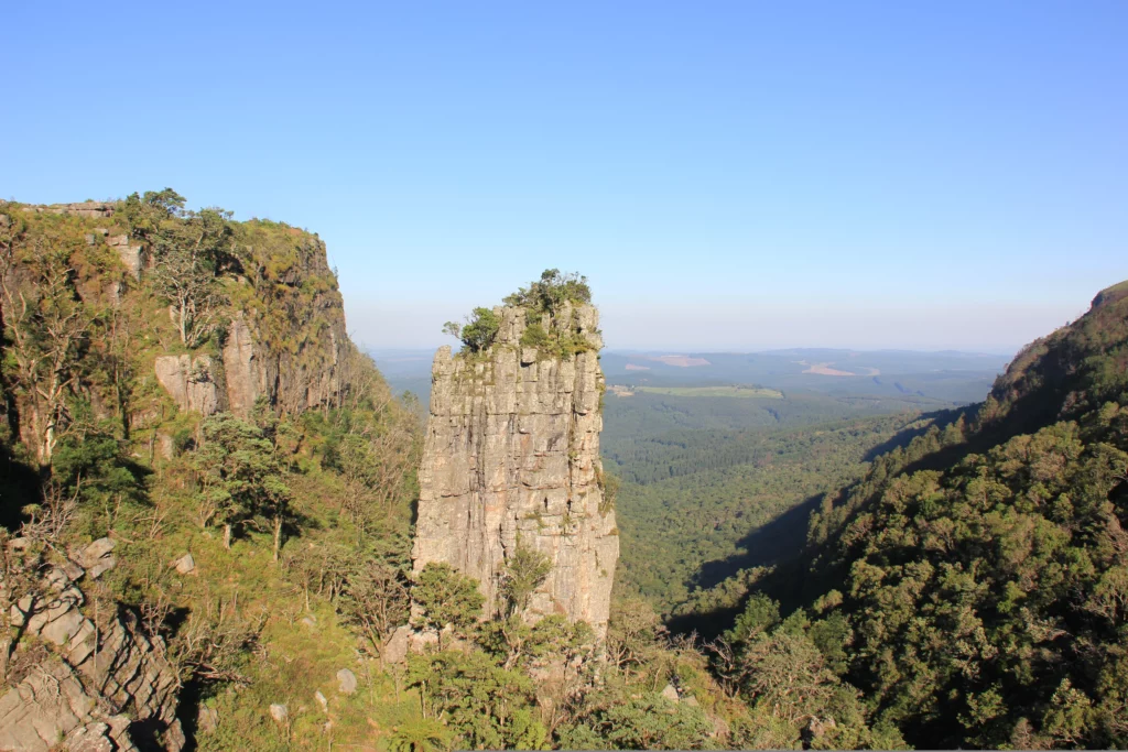
God’s Window and Pinnacle Rock
If you follow the Panorama Route further south, you will soon reach God’s Window. The cliffs of this place reach about 700 metres into the depths, so that a breathtaking view over the Lowveld opens up to you. The 30-metre high and free-standing rock “Pinnacle Rock” is now also close by.
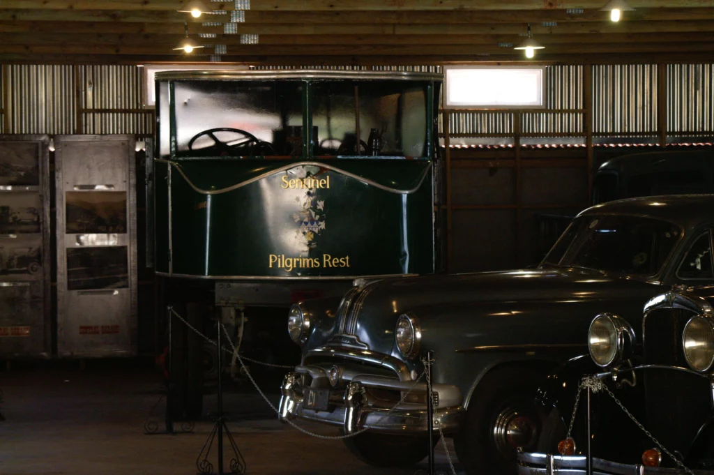
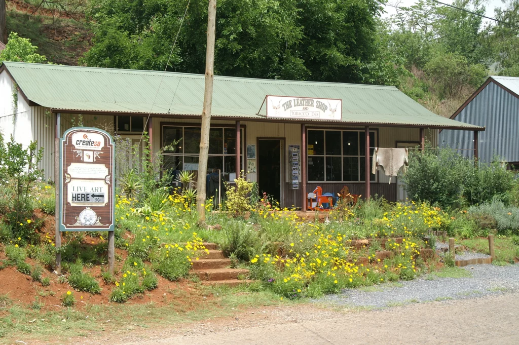
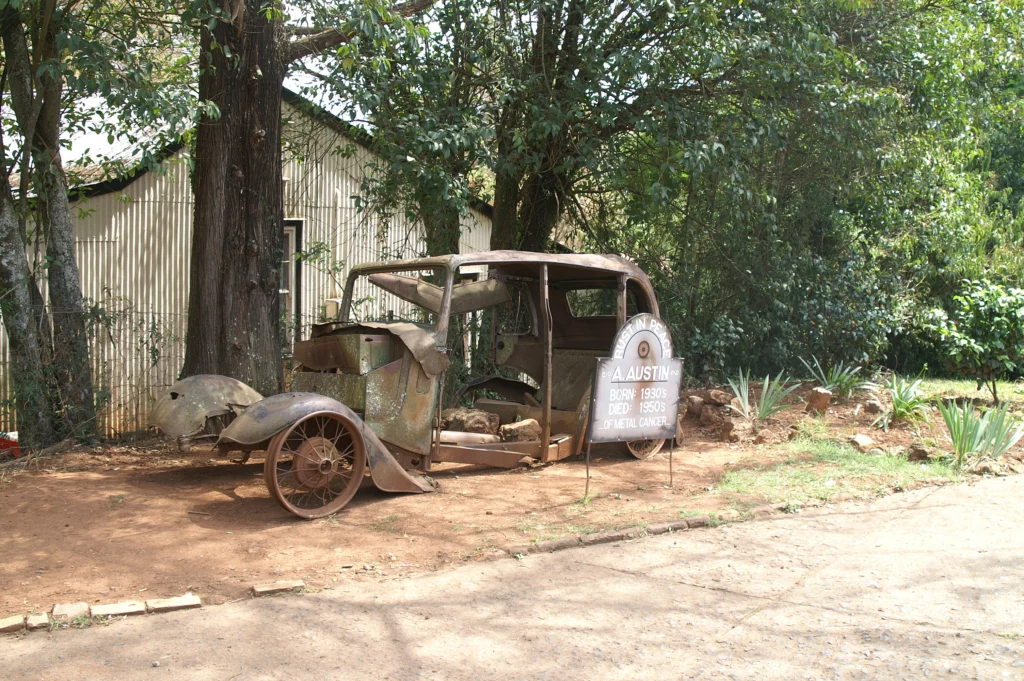
Pilgrim’s Rest
The southern part of the Panorama Route also passes through Pilgrim’s Rest. Pilgrim’s Rest is now a national cultural monument because of the various buildings of this former gold mining town that have been converted into museums. Visitors can immerse themselves in the atmosphere of that time and experience life in this small town. Among other things, they can visit the newspaper printing press, a contemporary gold miner’s house and the residence of the chairman of the gold mining company that was based there at the time. There are also some souvenir shops on site where you can buy souvenirs of your trip to the town.
More Information
The distance between the Panorama Route and Lethabong Mountain Lodge is about 95 kilometres or 1.5 hours to drive. This makes this destination suitable for a day trip. However, it is not recommended to drive the entire route in a single day because of the many viewpoints. Instead, it is advisable to divide the route into individual sections and spread them over several days.
This post lists only a few of the many impressive places along the Panorama Route. But there are many travel blogs that describe the journey along this route from their point of view. For example, this article can be recommended for further information.